Dordives – Montargis

Dordives – Montargis

Reminder

Ponds, woodlands and marshy saussaies punctuate this route, which passes close to typical small towns in the Gâtinais region such as Nargis and Ferrières. It reaches the Buges lock, where the Briare, Orléans and Loing canals converge, and then leads to Montargis, the little Venice of the Gâtinais region.

North of Montargis,  an alternative route to the Scandibérique, which is more direct, connects to Orléans.

18 km
1h15

good

easy

Gâtinais

< Dordives

Montargis >

climb infos
descent infos
highest infos
lowest infos

Elevation cursor map

Itinerary Eurovelo3, recommended by CTE

From Dordives or Montargis :

  • Transilien Line R to Paris, Nemours, Fontainebleau, Melun and Montargis.

From Montargis :

  • TER/Intercités services to Paris, Fontainebleau, Melun, Montargis, Briare and Nevers.

Markets :

  • Ferrières-en-Gâtinais, Friday morning
  • Montargis, Wednesday and Saturday mornings.
Nargis :

  • typical village of the Gâtinais region

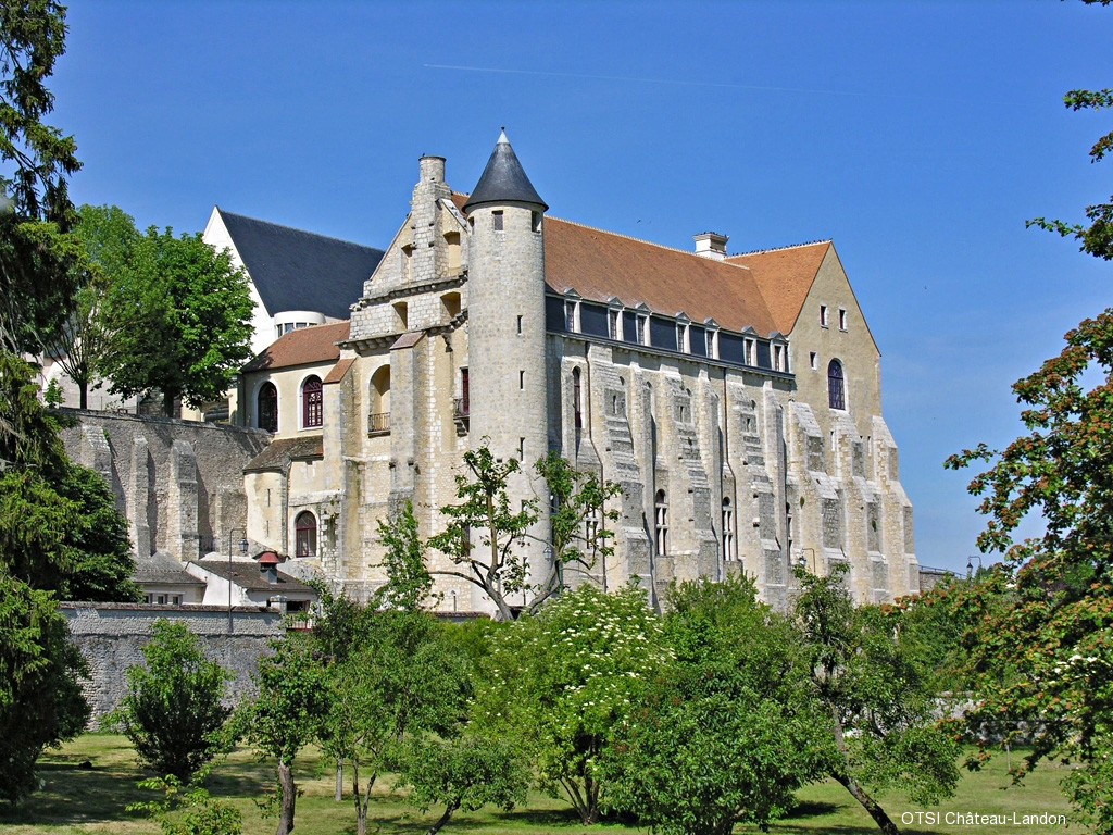
Ferrières-en-Gâtinais :

  • former abbey, Saint-Pierre abbey church (12th-15th centuries)
  • medieval streets

Cepoy :

  • Saint-Loup Church (12th century)
  • lock and water bodies
  • castle grounds

Nearby :

  • Chanterelles :
    • Romanesque church (12th century)
  • Griselles :
    • Gril du Corbelin Bridge (12th–15th centuries)
  • Montargis :
    • state-owned forest, estate and golf course of Vaugouard

De Namur à Tours par l'Eurovélo3

This website is designed, created and maintained solely by volunteers, without any public or private support.
It is completely free.
Join us : https://eurovelo3.fr/adhesions/

Variant of the stage « Dordives – Montargis »

From Cepoy, you can reach Montargis station by following this alternative route which passes through Châlette. This route is shared with motor vehicles.

5.5 km
0h30

none
easy

Link of the stage « Dordives – Montargis »

Route to get to Montargis station from Scandibérique.

1.5 km

medium
easy

Nemours – Dordives

Nemours – Dordives

Fwd: Rank your website with this easy to use aitool

From Nemours, the greenway follows the Loing river, lined with numerous lakes, including the one at Souppes-sur-Loing, which is open for swimming during the summer season.

At Bagneaux, the route passes by the blast furnaces of cutting-edge glass industries (Corning, Keraglass).

Shortly before Dordives, a short detour to the charming medieval town of Château-Landon allows you to enjoy the superb panorama over the valley.

15.2 km
1h15

good

easy

Gâtinais

< Nemours

Dordives >

climb infos
descent infos
highest infos
lowest infos

Elevation cursor map

Itinerary Eurovelo3, recommended by CTE

  • From Nemours or from Dordives Transilien ligne R to Paris, Fontainebleau, Melun, Montargis.

Markets :

  • Dordives : friday morning
  • Château-Landon : thursday morning
  • Souppes-sur-Loing : sunday morning
Bagneaux-sur-Loing:

  • Saint-Léonard Church (16th century)

Souppes-sur-Loing:

  • Saint-Clair-Saint-Léger Church
  • farm barn
  • former castle of Boulay
  • Cistercian Abbey of Sainte-Marie

Dordives:

  • Saint Stephen’s Church,
  • former royal abbey of Cercanceaux
  • Mez-le-Maréchal Castle (12th century)
  • Glass Museum (closed in January)

Nearby:

  • Château-Landon:
    • ancient medieval fortified town
    • birthplace of the Counts of Anjou and Kings of England, on a rocky spur overlooking the Fusain valley
    • Madeleine and Saint-Thugal towers (8th–11th centuries)
    • former royal abbey of Saint-Séverin (12th century)
    • Notre-Dame Church (10th-14th centuries)
Souppes-sur-Loing:

  • leisure centre (swimming in natural waters, games, canoeing)
  • animal park

Dordives:

  • Cercanceaux marshes (protected natural area) and Étangs meadow

Château-Landon:

  • Gâtinais local produce shop (honey, saffron, etc.) at the tourist office.

De Namur à Tours par l'Eurovélo3

This website is designed, created and maintained solely by volunteers, without any public or private support.
It is completely free.
Join us : https://eurovelo3.fr/adhesions/

Variant of the stage « Nemours – Dordives »

Ancient medieval fortified town. Birthplace of the Counts of Anjou and Kings of England, situated on a rocky outcrop overlooking the Fusain valley.

The town bears witness to a prestigious medieval past and is well worth a visit.

10 km
2h00

none
medium

Moret-sur-Loing – Nemours

Moret-sur-Loing – Nemours

Hello eurovelo3.fr Admin.

During this stage, you can visit the bicycle museum in the medieval town of Moret-sur-Loing or try your hand at canoeing down the River Loing.

The pleasant towpath, between marshes and wooded areas, leads to Nemours, with its remarkable cultural heritage, including a castle and a prehistory museum.

18 km
1h30

good

easy

Gâtinais

< Moret-sur-Loing

Nemours >

climb infos
descent infos
highest infos
lowest infos

Elevation cursor map

Itinerary Eurovelo3, recommended by CTE

  • Trains : from Moret-Veneux-les-Sablons and from Nemours
  • Transilien ligne R to Paris, Fontainebleau, Melun, Nemours, Montargis.
  • À Moret TER to Sens.

Markets :

  • Moret-sur-Loing : friday morning.
  • Nemours : wednesday and saturday motning
Moret-sur-Loing :

  • Samois and Burgundy gates of the old ramparts
  • former residence of François I er
  • Notre-Dame church (XIIe s., buffet d’orgues XVe s.)
  • sugar museum (avril à fin oct.)
  • bicycle museum (avril à fin sept.)
  • Clemenceau’s House
  • Tan mill

La Genevraye :

  • Saint-Martin church (fin XIIe s.)
  • former dynamite factory of Cugny

Moncourt-Fromonville :

  • Saint-Étienne church
  • Pleignes castle (XIVe s.)

Grez-sur-Loing :

  • charming artists’ village
  • old stone bridge
  • Ganne tower and Notre-Dame-et-Saint-Laurent church (12th century)

Nemours :

  • Gateway town to the castle-museum (12th century)
  • Church of Saint John the Baptist (16th-17th centuries)
  • Departmental Museum of Prehistory

Saint-Pierre-lès-Nemours :

  • Rochers Gréau park
  • Saint-Pierre-et-Saint-Paul church

À proximité :

  • Gâtinais Français Regional Natural Park
  • Fontainebleau and Nanteau-sur-Lunain forests
  • Larchant :
    • Dame Jehanne’s climbing rock
    • remains of the Gothic church of Saint-Mathurin (13th century)
Moret-sur-Loing:

Nemours:

  • Chocolaterie des Lys (poppy sweets, museum tour)

De Namur à Tours par l'Eurovélo3

This website is designed, created and maintained solely by volunteers, without any public or private support.
It is completely free.
Join us : https://eurovelo3.fr/adhesions/

Gare de Montargis

Cepoy – Montargis

Cepoy – Montargis

From Cepoy, you can reach Montargis station by following this alternative route which passes through Châlette. This route is shared with motor vehicles.

5.5 km
0h30

none
easy

< Cepoy

Montargis >

climb infos
descent infos
highest infos
lowest infos

Elevation cursor map

Alternative route recommended by CTE

Coming from the right bank, cross the Cepoy Bridge and immediately after the bridge, turn right onto Montenon Quay. Follow the Loing Canal on the left bank until you reach the footbridge at Buges Lock.

After crossing the footbridge, follow the Briare Canal on its right bank until you reach the Nelson Mandela Street Bridge.

At the bridge, cross to the other side and follow the canal on its left bank to the quai du patis. From there, you can reach Montargis railway station by walking up Avenue du Général de Gaulle.

De Namur à Tours par l'Eurovélo3

This website is designed, created and maintained solely by volunteers, without any public or private support.
It is completely free.
Join us : https://eurovelo3.fr/adhesions/

Château-Landon

Château-Landon

Ancient medieval fortified town. Birthplace of the Counts of Anjou and Kings of England, situated on a rocky outcrop overlooking the Fusain valley.

The town bears witness to a prestigious medieval past and is well worth a visit.

10 km
2h00

none
medium

< Château-Landon

Château-Landon >

climb infos
descent infos
highest infos
lowest infos

Elevation cursor map

Alternative route recommended by CTE

Coming from the north, leave the canal just before the lock and the Néronville boat stop (picnic area). Go up Rue du Hameau de Lorroy, then Rue de Pont Franc, followed by Rue des Martins.

When you reach Rue Saint-Séverin, turn left and then right onto Rue de la Ville Forte, which goes around Saint Séverin Abbey. The climb is steep. At the end of the street, turn right onto Rue Hetzel. You can find a map of the town at the tourist office. There are bicycle racks on the market square.

To leave, take Albert Ouvré Street, then at General Leclerc Square, take Nemours Street. Next, follow Charles de Gaulle Street until you reach Bas de Saint-André Street, which will be on your right. Go down this street until you reach Chemin de la Haie de Banse. Stay on this road until you reach the first road on the left, which will take you to a bridge over the Fusain.

After the bridge, turn left immediately. Cross Tabarderie Park (picnic area) along the Fusain until you reach the road. At the road, turn right onto Rue des Gauthiers. At the end of the hamlet of Les Gauthiers, turn left onto the D43 to the hamlet of Néronville and the Loing Canal, where you will rejoin the cycle route.


  • Madeleine and Saint-Thugal Towers (8th-11th centuries)
  • Former Royal Abbey of Saint-Séverin (12th century)
  • Church of Notre-Dame (10th-14th centuries)
Local produce shop from the Gâtinais region (honey, saffron, etc.) at the tourist office

De Namur à Tours par l'Eurovélo3

This website is designed, created and maintained solely by volunteers, without any public or private support.
It is completely free.
Join us : https://eurovelo3.fr/adhesions/