From Confolens to Angoulême via the lakes of Haute-Charente

The Scandibérique route is hilly, with a few steep climbs.
Well signposted, it winds its way towards the lakes of the Haute-Charente, a guaranteed change of scenery.
As far as Eymouthiers, it follows quiet country roads. It joins the “Coulée de l’Oc” greenway and makes a diversion north ofAngoulême via the Saint-Yrieix lake.
< Confolens
>
Itinerary Eurovelo3, recommended by CTE
→ click on map to go to a stage

De Namur à Tours par l'Eurovélo3
It is completely free.
Join us : https://eurovelo3.fr/adhesions/
The 5 stages of the section « From Confolens to Angoulême via the lakes of Haute-Charente »

Confolens, situated at the confluence of the Vienne and Goire rivers, is an ancient medieval town, as evidenced by the Pont-Vieux and its half-timbered houses, and comes alive every summer with its dance and music festival.
In Manot, don’t miss the carved capitals on the portal of Saint-Martial Church.
Set in rolling countryside, the route leads to Chirac, home to listed religious heritage sites including a church and a chapel, and then on to Excideuil, where you can enjoy the landscaped banks of the Vienne, its 12th-century church built of pink granite, and its small market hall.
Cyclotranseurope offers a more direct route to Angoulême.

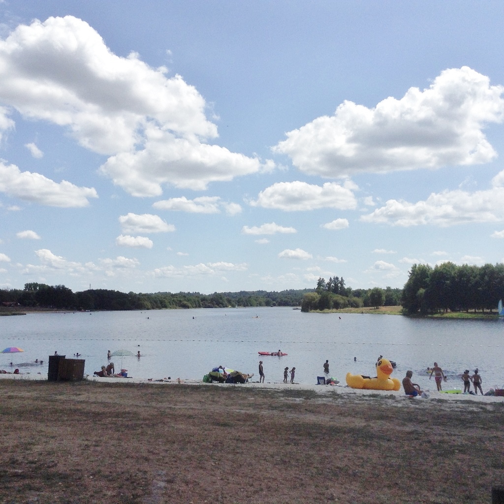
The route winds its way through the lakes of Haute-Charente, which were created to regulate the flow of the Charente. They are a favourite haunt of migratory and breeding birds: wigeons, teals, waders…
As you cycle past Lake Lavaud, don’t miss the Foucherie bird observatory and Guerlie beach. You follow the shores of Lake Mas Chaban, dotted with picnic areas, then head towards Lesignac-Durand and Massignac, renowned for its Michelin-starred restaurant in the luxurious Domaine des Étangs.

Beautiful scenery with every turn of the pedals: rolling meadows, Limousin cattle, granite farmhouses, and forests of oak, chestnut and hornbeam trees – but there are some steep climbs too! The terrace at the Gorges du Chambon bar-restaurant offers a superb view, which is even more magical at sunset.

The route follows roads without cycle lanes, with a few “Share the Road” signs, and it is with a sense of relief that you reach the Coulée d’Oc cycle path in Marthon, where the Flow Vélo – V92 joins the Scandibérique.
In Eymouthiers, a safer alternative route joins the Coulée d’Oc greenway, but does not take you to Montbron — the Old Castle, the former leprosarium chapel, and the Centre for an Introduction to Charente Prehistory.

The route passes close to the natural site of the source of the Touvre and its remarkable resurgences.
It takes a detour via the lake at Saint-Yriex (with the Plan d’Eau campsite nearby) and follows the Coulée Verte, which runs alongside the Charente as far as Angoulême.
Alternative to the section « From Confolens to Angoulême via the lakes of Haute-Charente »

CyloTransEurope is offering an alternative route to the Scandibérique.
It is hilly, but with a lower gradient (571 m of positive gradient instead of 930 m).
It is not signposted, so download the gpx track. This is a more direct route, taking small, quiet roads towards La Rochefoucault and its magnificent château, gliding towards the Tardoire valley before joining the “Coulée de l’Oc” greenway and then Angoulême.