Vienne Valley

Vienne Valley

The route follows the Vienne valley to Confolens, the gateway to the Charente-Limousin region.

There are swimming spots dotted along the route, and as you drive along, you’ll discover the exceptional medieval site of Chauvigny, the imposing viaduct at l’Isle-Jourdain, the pretty village of Availles-Limouzine and the impressive fortress of Saint-Germain de Confolens perched on its promontory.

110 km

Châtelleraudais
Poitevin
Chauvinois
Montmorillonnais
Charente Limousine

< Châtellerault

Confolens >

climb infos
descent infos
highest infos
lowest infos

Elevation cursor map

Itinerary recommended by CTE. Partially follows Eurovelo3
→ click on map to go to a stage

De Tours à la Côte Basque par l'Eurovélo3

This website is designed, created and maintained solely by volunteers, without any public or private support.
It is completely free.
Join us : https://eurovelo3.fr/adhesions/

The 6 stages of the section « Vienne Valley »

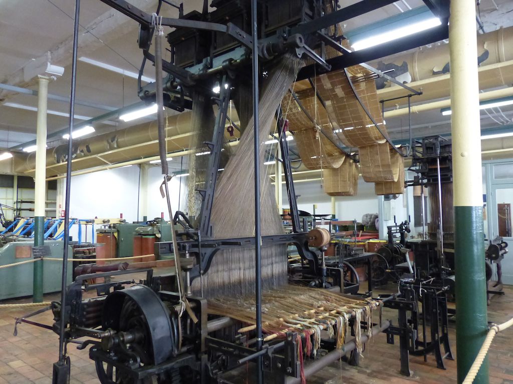
In Châtellerault, the viewing platform connecting the two chimneys of the former arms factory, known as ‘la Manu’, offers a fine view of the town.
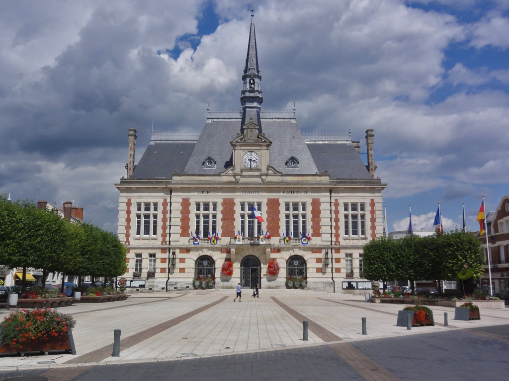
A stroll through the historic centre allows you to explore its medieval streets and Saint-Jacques Church – an essential stop for pilgrims on the Way of St James.

Just a short drive from Cenon-sur-Vienne, the Gallo-Roman site of Vieux Poitiers features a tower, the last remaining structure of a 10,000-seat theatre built in the 1st century.

In Vouneuil-sur-Vienne, the Pinail nature reserve, comprising thousands of ponds, peat bogs, meadows and heathland, offers a fascinating break in the countryside.

The CycloTransEurope association offers a route that passes through Poitiers.

21 km
2h

good
easy
Châtelleraudais

This slightly undulating stage follows quiet country lanes, winding its way through the beautifully wooded banks of the Vienne, past fields and hamlets.

To really appreciate Chauvigny, park your bike and make your way up to the medieval town via the steep, narrow streets. The site is exceptional: the Château d’Harcourt (13th century), the ruins of the Château des Evêques and its free-flight bird show, the superb panorama from the terrace of the Gouzon keep, and the Saint-Pierre collegiate church, a marvel of Romanesque art.

15 km
1h30

good
medium
Chauvinois

In Valvidienne, a trip to the charming village of Morthemer is highly recommended : the Collegiate Church of Notre-Dame, the castle, and the Dive pond.

In Civaux, the route passes by the nuclear power station, leads to the Planète Crocodile and then to the imposing Merovingian necropolis.

21.5 km
2h

good
easy
Chauvinois
Montmorillonnais

Lussac-les-Châteaux is renowned for its Museum of Prehistory. It offers workshops for young visitors, family activities and guided tours of the caves.

From Lussac-les-Châteaux, the route follows narrow roads, never far from the banks of the Vienne. On the left bank, there is a beach and swimming at Queaux. On the right bank, there is a canoe and kayak centre at Moussac. At L‘Isle-Jourdain, Lake Chardes offers a playground and picnic area.


23.5 km
2h50

good
medium
Montmorillonnais

In L’Isle-Jourdain, the view of the Vienne valley from the viaduct is superb.

The route to Millac winds its way through fields, woods and meadows before passing close to the hydroelectric dams that regulate the flow of the River Vienne.

16.5 km
1h30

good
medium
Montmorillonnais

The route begins in Availles-Limouzine, an old fortified town built on a promontory, and then passes close to the architectural park at the Bois Buchet estate, north of Lessac, where a stroll amongst the experimental buildings is a fascinating experience.

Further south, the ancient fortress of the medieval village of Saint-Germain-de-Confolens, at the confluence of the Vienne and the Issoire, overlooks the valley. You can also cycle along the old railway line to Confolens, a pleasant, shaded greenway, though it is in rather poor condition.

14 km
2h

good
medium
Montmorillonnais
Charente Limousine

Muides-sur-Loire – Blois (Rive gauche)

Muides-sur-Loire – Blois (Rive gauche)

This route passes through Saint-Dyé-sur-Loire, the former river port of Chambord, and reaches Blois along the banks of the Loire.

19 km
1h30

good

easy

Blésois

< Muides-sur-Loire

Blois >

climb infos
descent infos
highest infos
lowest infos

Elevation cursor map

Alternative itinerary, recommended by CTE

  • Trains de Blois : Orléans, Tours, Paris, Nantes

Marchés à Blois : mardi, jeudi et samedi matin place Louis XII, marché bio vendredi fin de journée quai Amédée Constant

Blois :

  • old town
  • royal castle
  • the churches of Saint Vincent and Saint Nicholas
  • Aître Saint-Saturnin
  • Saint Louis Cathedral
  • the Bishop’s and the King’s Gardens
  • House of Magic
  • contemporary art centre
  • The Foundation of Doubt

Nearby:

  • A cycling tour of the land of castles: 11 signposted discovery trails (Chamina guide)
  • Cellettes: Beauregard Renaissance castle and grounds
  • Cheverny: the château that served as the inspiration for the adventures of Tintin
Markets in Blois : Tuesday, Thursday and Saturday mornings at Place Louis XII; organic market on Friday evenings at Quai Amédée Constant

Wines: AOC Cheverny

De Namur à Tours par l'Eurovélo3

This website is designed, created and maintained solely by volunteers, without any public or private support.
It is completely free.
Join us : https://eurovelo3.fr/adhesions/

The 2 alternatives of the stage « Muides-sur-Loire – Blois (Rive gauche) »

Is this the scenario?

This stage offers the chance to admire the Château de Chambord, an architectural gem of the Renaissance and a UNESCO World Heritage Site, as well as the town of Blois and its many remarkable sights.

34 km
4h

good
easy
FR : Orléanais

This route along the right bank is the official Scandibérique route. Two other routes, one along the left bank and the other via Chambord, lead to Blois.

A very pleasant, peaceful walk with splendid views of the Loire.


19 km
2h00

good
easy
Blésois

Muides-sur- Loire – Chambord – Blois

Muides-sur- Loire – Chambord – Blois

Is this the scenario?

This stage offers the chance to admire the Château de Chambord, an architectural gem of the Renaissance and a UNESCO World Heritage Site, as well as the town of Blois and its many remarkable sights.

34 km
4h

good

easy

FR : Orléanais

< Muides-sur-Loire

Blois >

climb infos
descent infos
highest infos
lowest infos

Elevation cursor map

Alternative itinerary Eurovelo3, not recommended by CTE

  • Chambord and Blois Tourist Office
  • Trains from Blois : TER services to Tours, Orléans, Nantes and Paris
  • Markets in Blois : Tuesday, Thursday and Saturday mornings at Place Louis XII; organic market on Friday evenings at Quai Amédée Constant
Chambord : A Renaissance-style royal castle with 365 chimneys and a double-helix staircase

Blois :

  • old town
  • royal castle
  • the churches of Saint Vincent and Saint Nicholas
  • Aître Saint-Saturnin
  • Saint Louis Cathedral
  • the Bishop’s and the King’s Gardens
  • House of Magic
  • contemporary art centre
  • The Foundation of Doubt

Nearby:

Maslives : Biscuiterie De Chambord

Wines : AOC Cheverny

De Namur à Tours par l'Eurovélo3

This website is designed, created and maintained solely by volunteers, without any public or private support.
It is completely free.
Join us : https://eurovelo3.fr/adhesions/

The 2 alternatives of the stage « Muides-sur- Loire – Chambord – Blois »

This route along the right bank is the official Scandibérique route. Two other routes, one along the left bank and the other via Chambord, lead to Blois.

A very pleasant, peaceful walk with splendid views of the Loire.


19 km
2h00

good
easy
Blésois

This route passes through Saint-Dyé-sur-Loire, the former river port of Chambord, and reaches Blois along the banks of the Loire.

19 km
1h30

good
easy
Blésois

Pont de Muides – Gare de Mer

Liessies – Fourmies – Anor

Liessies – Fourmies – Anor

I have a question

From Liessies to Trélon, the route passes through the beautiful Abbé-Val-Joly national forest.
The route then bends towards Fourmies, where the Musée du Textile et de la Vie sociale (Textile and Social Life Museum) bears witness to the textile industry, which was very important until 1950.

24.5 km
1h20

good

easy

Avesnois

< Liessies

Anor >

climb infos
descent infos
highest infos
lowest infos

Elevation cursor map

Itinerary recommended by CTE. Partially follows Eurovelo3

At the end of the greenway, turn left into rue du Moulin à vent, then right into rue Roger Salengro, rue de la Minière, then left onto the D20. Cross the railway line, take the first road on the right, then the rural road on the left (poor quality stabilised surface), then the Rue du Défriché on the right, which leads down to Fourmies. After the roundabout, continue along Rue des Cattelets, then Rue du Chauffour (do not follow the EV3 sign to the hospital) to Etang aux Moines. From l’Etang aux Moines, take the paved forest road to l’Etang; the signposted route goes straight ahead.

Our advice: turn right on to route du trou Colette, then left on to Sommière de la Pépinière, a hard-surfaced forest path. Watch out for the narrow passage under the railway line at the entrance to Anor. Follow the signs as far as the Etang de Milourd. After the Etang de Milourd, rejoin the EV3.

Trains From Fourmies

      • TER Charleville-Mézières
      • TER Aulnoye-Aymeries, Valenciennes, Lille, Hirson, Laon

Trains from Anor

      • TER Aulnoye-Aymeries, Valenciennes, Lille, Hirson, Laon

Markets :

    • Sains-du-Nord, Wednesday
    • Trélon, Monday
    • Glageon, Thursday
    • Fourmies, Saturday
    • Anor, Wednesday
Trélon :

  • church (1578)
  • dance bandstand
  • The Glass Museum Workshop
  • Mérode Castle and its grounds (1704), no tower

Féron :

  • Fortified church (1614)

Fourmies :

  • Museum of Textiles and Social Life
  • former town hall (1820-1844)
  • industrial castle (1860-1880)
  • former spinning mill (1874)
  • spinner’s house (late 19th century)
  • workers’ housing circa 1900
  • municipal theatre

Nearby :

  • Sains-du-Nord :
    • village with beautiful 19th-century houses
    • house of the bocage (reconstruction of rural life in the Avesnois bocage)

De Namur à Tours par l'Eurovélo3

This website is designed, created and maintained solely by volunteers, without any public or private support.
It is completely free.
Join us : https://eurovelo3.fr/adhesions/

Variant of the stage « Liessies – Fourmies – Anor »

Interested?

This route takes you to Momignies in Belgium, where the more rugged terrain – at the foot of the Ardennes foothills – provides a good workout for your calves and lungs. It then continues to Anor along narrow roads lined with wooded meadows.

26 km
2h35

medium
medium
FR : Avesnois

Liessies – Momignies – Anor

Liessies – Momignies – Anor

Interested?

This route takes you to Momignies in Belgium, where the more rugged terrain – at the foot of the Ardennes foothills – provides a good workout for your calves and lungs. It then continues to Anor along narrow roads lined with wooded meadows.

26 km
2h35

medium
medium

< Liessies

Anor >

climb infos
descent infos
highest infos
lowest infos

Elevation cursor map

From Liessies to Trélon, take the greenway built on a former railway line, then follow the signposts along the minor roads. A junction with the Ravel cycle route at Momignies allows you to reach Chimay, 12 km to the north-west. At Momignies, the route heads south, reaching Anor and the Hirson Forest greenway.

Trains from Fourmies

      •   Intercity : Charleville-Mézières
      • TER : Aulnoye-Aymeries, Valenciennes, Lille, Hirson, Laon

Trains from Anor

      • TER : Aulnoye-Aymeries, Valenciennes, Lille, Hirson, Laon

Markets :

    • Sains-du-Nord, Wednesday
    • Trélon, Monday
    • Glageon, Thursday
    • Fourmies, Saturday
    • Anor, Wednesday
Momignies:

De Namur à Tours par l'Eurovélo3

This website is designed, created and maintained solely by volunteers, without any public or private support.
It is completely free.
Join us : https://eurovelo3.fr/adhesions/

La Fère – Marest-Dampcourt

La Fère – Marest-Dampcourt

Thursday AM?

This stage and the next cross the Moyenne vallée de l’Oise, made up of large expanses of hay meadows that often flood, and are home to more than 200 species of bird, including one protected species, the corncrake.
Tergnier is a former railway workers’ housing estate designed by Raoul Dautry and destroyed during the Second World War. Chauny, ravaged during the First World War, was rebuilt in an Art-Deco style.

At Tergnier, connection with the Veloroute Vallée de Somme – V30.

19 km
1h45

good

easy

Vermandois

< La Fère

Marest-Dampcourt >

climb infos
descent infos
highest infos
lowest infos

Elevation cursor map

Itinerary Eurovelo3, recommended by CTE

At Tergnier, when you make a U-turn before the lock, take the pavement (respecting pedestrians) and join the driveway on the left, just after the bridge.

From Ribemont

bus : Saint-Quentin

From La Fère

  • TER   Amiens, Noyon, Lille, Laon, Reims
Tergnier :

  • cité cheminote
  • museum of the Resistance and Deportation of Picardy
  • place Carnegie   : radio-concrete square built after the First World War.
  • Frette nautical base, a vast 32-hectare lake –

Chauny :

  • market hall, station, town hall

Manicamp gave its name to a “maroilles” style cheese.

Proximity :

  • Saint-Gobain
    • glass and mirror factory created in 1665 by Colbert, now closed, of which only the portal remains visible
  • Coucy-le-Château-Auffrique

    • ruins of a 13th-century fortified castle on a spur overlooking the town.

De Namur à Tours par l'Eurovélo3

This website is designed, created and maintained solely by volunteers, without any public or private support.
It is completely free.
Join us : https://eurovelo3.fr/adhesions/

Ribemont – La Fère

Ribemont – La Fère

Leads for eurovelo3.fr

This route, among meadows and ponds,  follows the towpath of the Sambre à l’Oise canal.  Don’t hesitate to take a few detours to discover the brick villages that line the canal. Saint-Quentin, 15 km from Ribemont, is a beautiful town, renowned for its Art-Deco architecture.

21 km
2h00

good

easy

Vermandois

< Ribémont

La Fère >

climb infos
descent infos
highest infos
lowest infos

Elevation cursor map

Itinerary Eurovelo3, recommended by CTE

From Ribemont :

bus : Saint-Quentin

From La Fère :

  • TER Amiens, Noyon, Lille Laon, Reims
Sissy :

  • art deco church (1930)
  • ruins of the chapel of the Dormants (13th-16th centuries)

Alaincourt :

  • museum “La maison de Marie-Jeanne” exhibits objects from daily life between 1875 and 1950
  • 13th-century church

Proximity :

  • Saint-Quentin :
    • Musée des Beaux-Arts Antoine Lescuyer
    • musée des Papillons
    • village des métiers d’antan and Motobécane museum
    • Isle-Saint-Quentin marsh nature reserve (400 ha)
  • Vendeuil
    • Gothic-style church, bell tower with 2 roosters
  • Achery :
    • remains of Hindenburg Line blockhouses (1916/1917)
  • La Fère :

    • musée Jeanne d’Aboville , Flemish and Dutch paintings
    • statue of the artilleryman formerly on the Alma bridge in Paris

De Namur à Tours par l'Eurovélo3

This website is designed, created and maintained solely by volunteers, without any public or private support.
It is completely free.
Join us : https://eurovelo3.fr/adhesions/