Gressy – Bondy

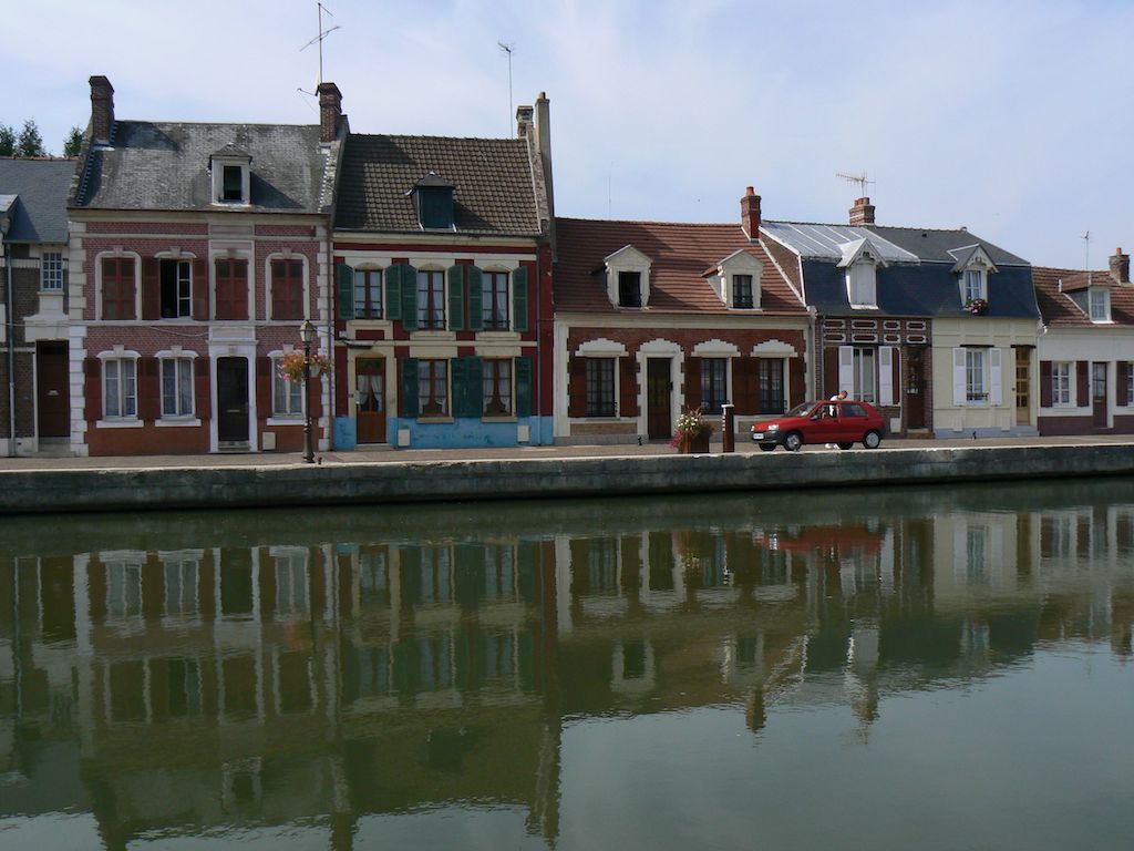
The Ourcq Canal, built between 1802 and 1825, was originally intended to supply the capital with drinking water. Today, it is used for recreational boating (cruises, barges, etc.), but freight transport (construction materials) continues between Bondy and Paris. It is along this canal that …), but freight transport (construction materials) still operates between Bondy and Paris. The route runs along this canal, which has been adapted since the late 1990s to accommodate cycle tourists.
The route to the pleasant Dhuis promenade is described. Tick the “link lanes” box.
good
easy
< Gressy
Bondy >
Itinerary Eurovelo3, recommended by CTE
Itinerary Tab :
Information Tab :
- From Villeparisis RER-B to Paris, Aulnay-sous-Bois, Massy-Palaiseau.
Markets :
- Villepinte, Sunday morning
- Villeparisis, Wednesday, Friday and Sunday mornings.
Mustsee Tab :
- Parc de la Poudrerie, built on the site of a former gunpowder and explosives factory, is one of the most popular parks in Seine-Saint-Denis. Ninety percent wooded, it also features several ponds with interesting wildlife. A bee house promotes beekeeping.
Livry-Gargan :
- Lefèvre Park, home to the Château de la Forêt (local history museum, with four rooms dedicated to the Marquise de Sévigné)
Nearby : from Sevran Park, you can reach (via the unpaved GR 14a trail) the Dhuis aqueduct, along which a greenway accessible to pedestrians and cyclists (mountain bikes) has been created, stretching nearly 30 km.

Link of the stage « Gressy – Bondy »

This route offers a pleasant way to get from the Ourcq Canal to the Promenade of the Dhuis Aqueduc . Starting from the Sevran forest park, it takes small streets and others that are a little busier but with cycle paths on both sides of the pavement. Then it becomes a greenway through the woods with a smooth surface.
While the Ourcq Canal trail is accessible all year round, the same cannot be said for the Dhuis walk. If you don’t like muddy ground, avoid it when it has rained. Otherwise, it is a truly beautiful walk with stunning views of the hillsides.


![[ ADV ] F.REE - How To Rank eurovelo3.fr on Google #1 Position Immediately](https://eurovelo3.fr/wp-content/crzm-uploads/compiegne-route.jpg)